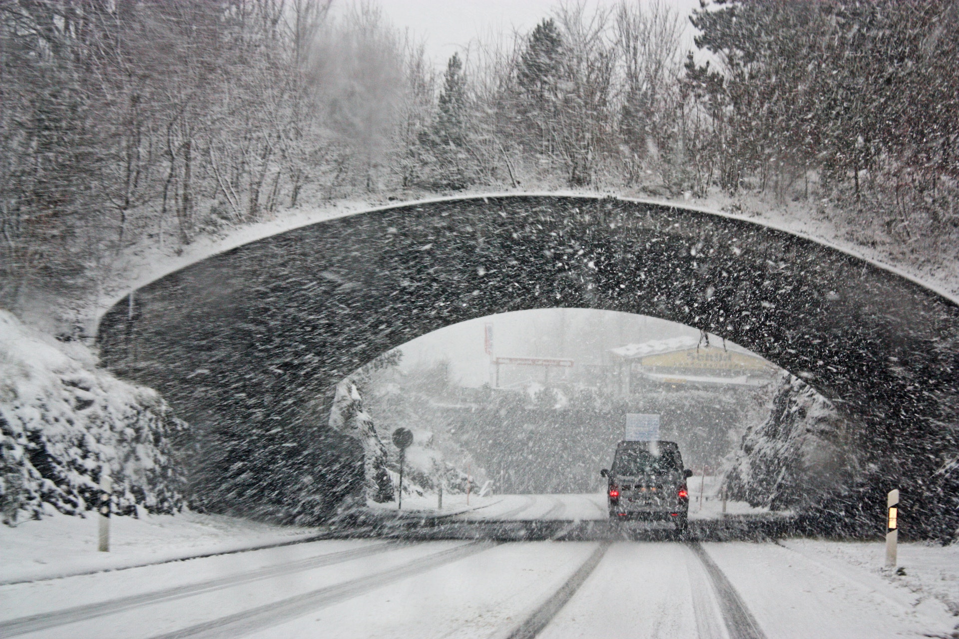
According meteorologists, California will experience a potent storm late this week with heavy rain, snow, and travel disruptions. The storm named as ‘Olive’ will move southward along the Pacific coast and impact the entire state, with the most significant effects expected in Southern California.
Even before the new storm arrives, the remnants of the cross-country storm that started on Monday will continue to affect California until Wednesday evening, causing sporadic low-elevation rain showers and mountain snow.
On Wednesday, the heavy rain will begin to spread southward, accompanied by a drop in snow levels from north to south. The storm will hit Northern California first, followed by Southern California on Thursday.
AccuWeather predicts that the upcoming storm from Thursday to Saturday could result in a rainfall of up to 12 inches in the wettest coastal areas of Southern California. Although Los Angeles and San Diego may not receive that much rain, the storm could bring a month’s worth of rain and potentially even more in some locations.
The average rainfall in February for downtown Los Angeles and San Diego is 3.66 inches and 2.20 inches, respectively. The intense rain from the upcoming storm may cause travel delays and significant urban and flash flooding. It could also increase the risk of mudslides and other debris flows.
According to the National Weather Service, over 22 million people in the United States were under a winter storm warning on Wednesday morning, with alerts stretching from the Southwest into the Midwest, as well as parts of California, northern New York, and New England. Ice storm warnings also covered a significant population, including areas from Iowa to Michigan, narrowly avoiding major cities like Des Moines, Detroit, and Chicago. The National Weather Service warned of a wintry mix of snow, sleet, and freezing rain that could cause slippery trail conditions along and south of I-94 Wednesday morning.
Meanwhile, blizzard warnings stretched across portions of Wyoming, Colorado, and the northern Plains, covering some 2 million people. South Dakota, Iowa, and Minnesota experienced whiteout conditions on the roads, and heavy snowfall created hazardous driving conditions in southeast South Dakota. AccuWeather meteorologists predict blizzard conditions will develop across southern Minnesota later Wednesday into Wednesday night, potentially reaching downtown Minneapolis. Minnesota State Patrol Colonel Matt Langer advised people to think twice before traveling and to stay home if possible to give road workers more room to clear the snow.
As of Wednesday afternoon, snowfall has covered several states across the United States with accumulation of 6 inches or more in seven different states. The highest snowfall amount was recorded in Kearns, Utah, with an impressive 16.4 inches so far. In the Pacific Northwest, Colville, Washington also saw significant snowfall with 8.5 inches reported. Snow has also been falling in states such as Minnesota, Montana, Nebraska, and Wisconsin.
Officials in Minnesota declared a snow emergency on Wednesday as the state was hit by heavy snowfall, causing dangerous driving conditions across the region. Road crews and snowplows were working tirelessly to clear as much snow as possible before the storm intensifies in Minneapolis. In the southwest corner of the state, several road closures were reported, including Minnesota State Highway 60 in Worthington, which was closed due to blowing snow and limited visibility. Similar conditions led to the closure of Interstate 90 from Worthington to the South Dakota state line on Wednesday afternoon.
Scientists have long warned that the Earth’s climate is changing due to human activity, and extreme weather events like the Buffalo blizzard are a sign of the impact. Climate change has been linked to more frequent and severe weather events, such as heat waves, hurricanes, droughts, and floods. As global temperatures rise, it can cause more moisture to evaporate from the oceans, leading to more intense precipitation in some areas. Additionally, warmer temperatures can cause changes in atmospheric circulation patterns, which can influence the likelihood of certain types of extreme weather events. While it’s impossible to attribute any single event solely to climate change, the increasing frequency and intensity of such events point to the urgent need for action to mitigate its effects.
Last year’s snow storms in the USA and floods in Pakistan have been linked to global warming. Experts suggest that as the Earth’s temperature rises, it can lead to an increase in extreme weather events, such as heavy snowfall and flooding. Warmer air can hold more moisture, leading to more intense precipitation when storms do occur. These extreme weather events can have devastating effects on communities, causing damage to infrastructure, property, and loss of life. The connection between global warming and extreme weather events highlights the urgent need to address climate change and reduce greenhouse gas emissions.


